
Let's see if I can upload some photos.
First of all, for anyone interested, here's a map of operational gas stations in NJ. http://blog.entchev.com/2012/11/01/...after-hurricane-sandy----november-1-2012.aspx
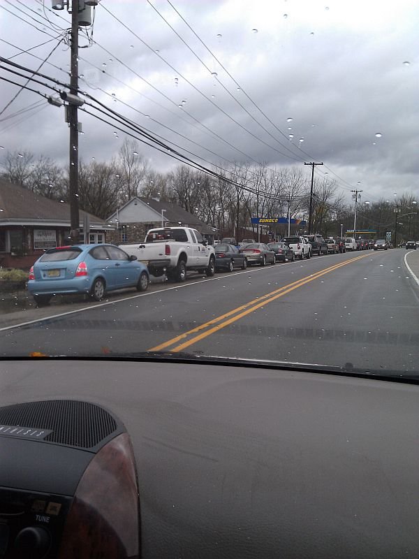
We're closest to Stroudsburg, PA (of the identifiable places on that map scale). The closest gas to us is in PA, but unless you drive an hour or more, the lines are 3 hours (or more) long. It's going to be a while before life gets back to normal around here.
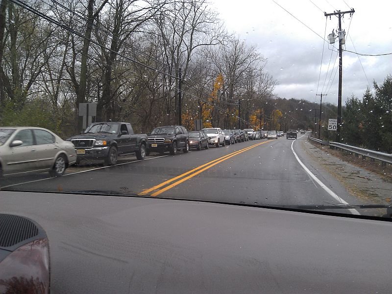
OK - here's the road the park is on - it was carpeted with debris, and a downed tree it seemed.. about every tree length. :lol3: Now remember - these are trees that survived Irene last year.
The rest are all taken from the roads around us...
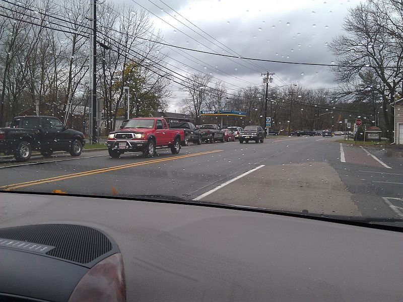
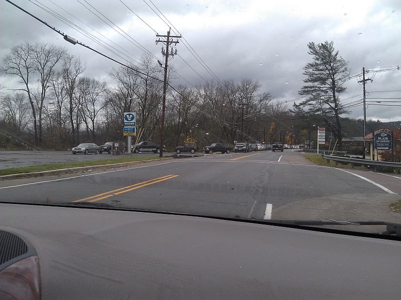
We just started at the beginning, stopping to take pics up this little stretch of road, I think you'll see the continuity in the pictures...
http://www.thecatsite.com/content/type/61/id/136984/width/350/height/700[/IMG
[GALLERY="media, 136985"][/GALLERY]
[GALLERY="media, 136986"][/GALLERY]
[GALLERY="media, 136987"][/GALLERY]
[GALLERY="media, 136988"][/GALLERY]
[GALLERY="media, 136989"][/GALLERY]
Why we won't have power for a while...
[GALLERY="media, 136990"][/GALLERY]
[GALLERY="media, 136991"][/GALLERY]
[GALLERY="media, 136992"][/GALLERY]
[GALLERY="media, 136993"][/GALLERY]
[GALLERY="media, 136994"][/GALLERY]
[GALLERY="media, 136996"][/GALLERY]
In many places, whole stands of trees are down. There are a lot of ravines around here, but there's no place to pull over to stop and take pics - but they have trees just tossed around in them - some snapped, some uprooted... This is a field up at the end of the road:
[GALLERY="media, 136995"][/GALLERY]
First of all, for anyone interested, here's a map of operational gas stations in NJ. http://blog.entchev.com/2012/11/01/...after-hurricane-sandy----november-1-2012.aspx
We're closest to Stroudsburg, PA (of the identifiable places on that map scale). The closest gas to us is in PA, but unless you drive an hour or more, the lines are 3 hours (or more) long. It's going to be a while before life gets back to normal around here.
OK - here's the road the park is on - it was carpeted with debris, and a downed tree it seemed.. about every tree length. :lol3: Now remember - these are trees that survived Irene last year.
The rest are all taken from the roads around us...
We just started at the beginning, stopping to take pics up this little stretch of road, I think you'll see the continuity in the pictures...
http://www.thecatsite.com/content/type/61/id/136984/width/350/height/700[/IMG
[GALLERY="media, 136985"][/GALLERY]
[GALLERY="media, 136986"][/GALLERY]
[GALLERY="media, 136987"][/GALLERY]
[GALLERY="media, 136988"][/GALLERY]
[GALLERY="media, 136989"][/GALLERY]
Why we won't have power for a while...
[GALLERY="media, 136990"][/GALLERY]
[GALLERY="media, 136991"][/GALLERY]
[GALLERY="media, 136992"][/GALLERY]
[GALLERY="media, 136993"][/GALLERY]
[GALLERY="media, 136994"][/GALLERY]
[GALLERY="media, 136996"][/GALLERY]
In many places, whole stands of trees are down. There are a lot of ravines around here, but there's no place to pull over to stop and take pics - but they have trees just tossed around in them - some snapped, some uprooted... This is a field up at the end of the road:
[GALLERY="media, 136995"][/GALLERY]

 :heart3: